By Laura J. Van der Staay
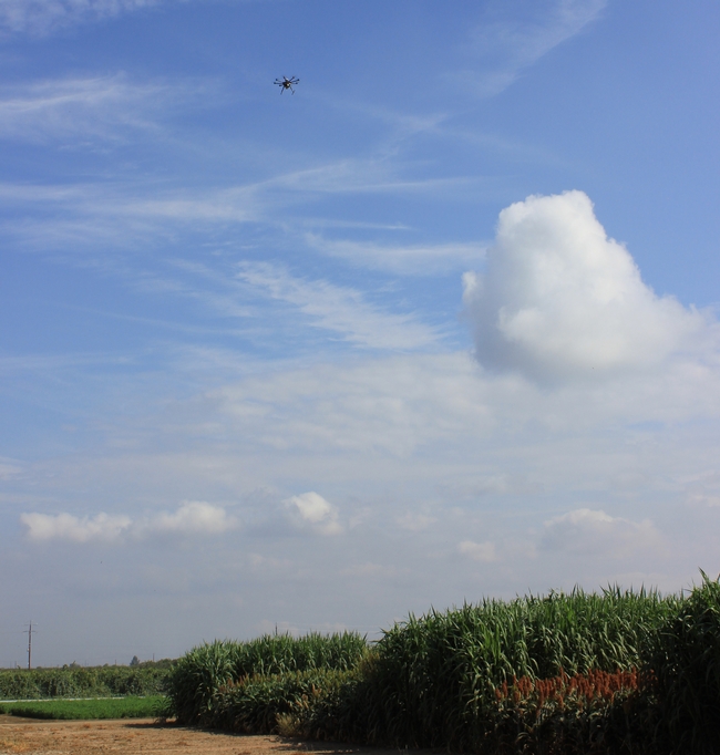
Jeffery Dahlberg, director of UC ANR Kearney Agricultural Research & Extension Center (KARE), specializing in plant breeding and genetics, is working with drones to collect data for one of his sorghum programs. Work will continue the development of field scale drought nurseries at both KARE and West Side Research & Extension Center (WSREC) under a DOE ARPA-e funded project that utilizes drone technology to phenotype sorghum lines on a weekly basis as they are stressed under pre- and post-flowering drought stress. Research will continue this coming summer to gather additional phenotypic data, along with heat stress measurements and soil moisture monitoring. These nurseries are part of an effort to identify genes that are expressed under different field stress conditions and relate them to sorghum's ability to withstand and recover from stress.
If you are interested in learning how to use drones for research and land management, you may want to explore attending the UCANR Informatics and GIS Program's Dronecamp July 25-27, 2017 at UCANR in Davis, Calif., the application period is March 1 – April 15, 2017. Dronecamp costs $500 for UC affiliates (UC employees and enrolled students), and $900 for non-UC participants. Dronecomp is designed for participants with little or no experience in drone technology, and want to learn how to use drones for mapping applications. The intensive workshop covers drone science; safety and regulations; mission planning; flight operations; data processing; data analysis; visualization; and the latest trends and technology.

Source:ucanr.edu