CropSuit is a free web-based application
A new tool is available to help farmers identify which crops may be suitable for certain locations.
The Food and Agriculture Organization of the United Nations (FAO) launched CropSuit at its Global Conference on Smart Farming.
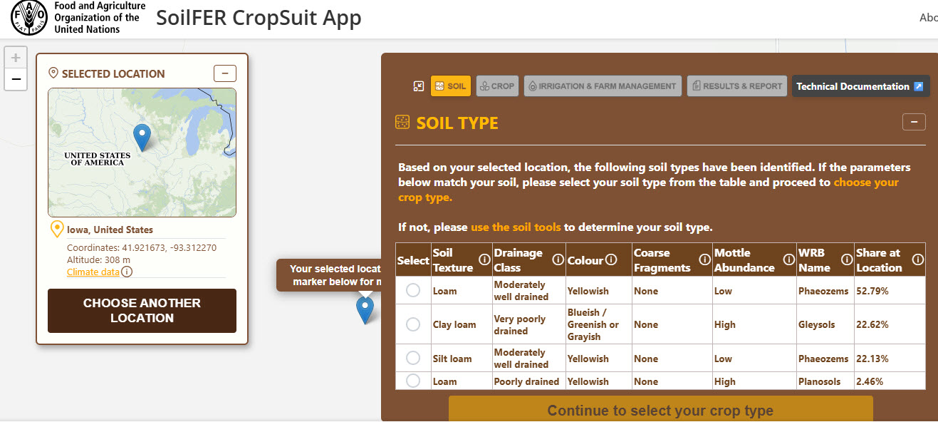
This tool combines multiple pieces of information to produce a suitability index for individual crops with an estimated yield potential.
The tool allows users to identify individual soil types, and answer questions related to farm and input management.
A score of 85 or above means the location is very suitable for the crop in question.
Users can also search by general location or input specific coordinates for tailored results.
Crop options in the tool include corn, soybeans, sesame, yam, and watermelon.
Iowa, for example, has a very high score for corn. But based on CropSuit’s data Iowa wouldn’t be a good place to grow cashews.
And parts of Nigeria could support okra and pigeon pea production, but farmers there may have a harder time growing soybeans.
This tool is another example of precision agriculture at work, said Lifeng Li, director of the FAO land and water division.
“Technology does not replace farmers. It gives them better information to make better decisions, at the right time and in the right place,” he said in a statement. “CropSuit is one example of how innovation can turn science into practical support for farmers. The challenge is no longer whether smart farming works. It is whether we can ensure that these tools reach the farmers who need them most.”
CropSuit is part of the FAO’s Soil Mapping for Resilient Agrifood Systems program.
The U.S. and Japan support this program to help farmers around the world, but especially in Africa and Central America, have access to better soil data.