Dr. Robb Fraley visited with a number of farmers
By Diego Flammini
Assistant Editor, North American Content
Farms.com
More information needs to be gathered before definitive conclusions can be made about dicamba drift issues, according to Dr. Robb Fraley, chief technology officer with Monsanto.
“This is an incredibly complex issue and reacting based on speculation could actually end up doing more harm than good for farmers,” Dr. Fraley told reporters during a Thursday afternoon conference call. “That’s why I went to see farmers. When you stand next to them in their fields you listen, you look and you learn a lot.”
On July 7, both Arkansas and Missouri announced temporary sale and usage bans of dicamba products due to concerns about drift damage. As of Wednesday, more than 700 complaints of alleged dicamba misuse were recorded across both states, according to Monsanto data.
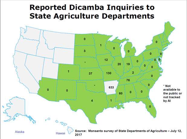
Photo: Monsanto
Monsanto officials are examining sprayer samples from farmers, as well as weather and field conditions. Of 10 sprayer samples collected, four were confirmed to have amounts of dicamba. But evidence in the fields suggests other factors could be at play, according to Dr. Fraley.
“During my visits with farmers in Arkansas and Missouri, I saw several instances of cupping that were not from drift because the pattern of impact was too uniform,” Dr. Fraley said. “Most agronomists will tell you that uniform, corner to corner leaf cupping across an entire field is not consistent with drift and is symptomatic of another problem.”
American farmers are currently using dicamba on about 25 million acres, said Dr. Fraley, adding that amount of acreage presents learning opportunities for the industry.
“As we look at the experiences we’ve gained this year, there’s things we’ll be able to look at, continue make suggestions and change recommendations as we prepare for the 2018 planting season.”
Missouri reinstates sale and usage of dicamba
The Missouri Department of Agriculture ended its temporary sale and usage ban on dicamba after creating a Special Local Need label.
“From the moment the stop sale and use order went into effect, we’ve been working to get these weed control products back into the hands of our farmers,” Missouri Director of Agriculture Chris Chinn said in a statement yesterday.
According to this label, Missouri applicators have to adhere to the following rules in order to spray dicamba on resistant soybeans and cotton:
- The herbicide can’t be applied if wind speeds are greater than 10 mph and applicators must measure and record wind speed and direction.
- It must not be applied before 9:00 a.m. and after 3:00 p.m.
- The herbicide must be applied by a certified applicator.
- Certified applicators must complete an online “Dicamba Notice of Application” before spraying the herbicide.