SMAP will help determine soil health and predict yields
By Diego Flammini, Farms.com
While drones can be very effective tools for farmers to scout their fields and gather information about soil and crop health, the National Aeronautics and Space Administration (NASA) has tools that are even better than drones.
Luckily for Canadian farmers, NASA will share some of its information from their Soil and Moisture Active Passive (SMAP) satellite with Canadian universities for further research and analysis.
"Agriculture is an important part of Manitoba's economy,” said Member of Parliament for Elmwood-Transcona Lawrence Toet. “By providing our farmers with key data to better manage their land, we are helping to ensure the agricultural sector continues to drive productivity and prosperity in the province.”
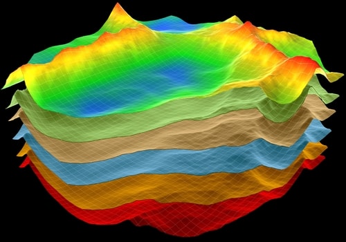
SMAP’s objectives are to provide measurements of soil moisture and determine whether the ground is frozen or thawed in some of Canada’s environments. The measurements will be used to produce soil maps which could help improve drought and flooding predictions, understanding crop yields and provide early warnings of soil conditions that could lead to pest pressure.
“These data will allow for better crop planting decisions and better flood management predictions that result in successful economies and quality of life,” said Dr. Digvir Jayas, Vice President (Research and International) at the University of Manitoba.
NASA hopes to release its first verified soil moisture data maps in May 2016 and freeze/thaw maps by July 2016.
Along with the University of Manitoba, Université de Sherbrooke, the University of Guelph, the University of Toronto and l'Institut national de la recherche scientifique will undertake these research projects, receiving a total of $1.4 million in grants to complete their work.
Join the conversation and tell us your thoughts about the worlds of agriculture and NASA working together. How would you use the information from the maps?