Farms.com Home   News

Farmers.gov Local Dashboard Continues to Improve, Add Information to Help Producers

By Sarah Berson

The last time we shared news about the farmers.gov local dashboard was in April 2024. We’re excited to provide an update on how we’ve enhanced the dashboard since then.

Why We Created the Dashboard

We created the farmers.gov local dashboard to provide farmer-focused resources from USDA and other government agencies in a single place so you can easily access materials you may need as you run your operation. We also transformed some complex commodities and weather data sets into easy-to-read charts and graphs to help you quickly find and analyze information that matters to you.

Farmer and Rancher-Driven Changes

We heard your feedback! The new features and updates to the dashboard are based on the feedback we received from you. We analyzed your suggestions and prioritized improvements based on what you said would be most helpful along with the data we collected about which features were most used.

crop

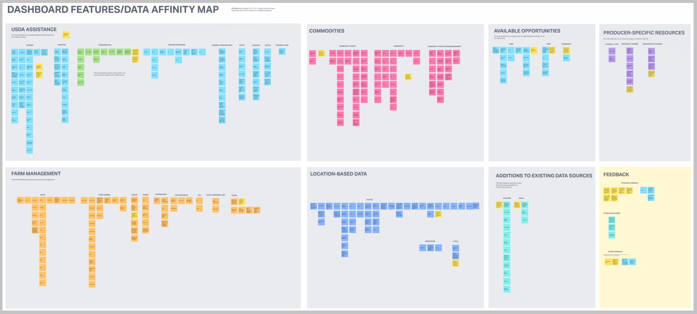
The farmers.gov User Experience team organized and analyzed all of the feedback we received in the last year so we could focus on adding information producers were most interested in.

Source : farmers.gov

Trending Video

What Is Remote Sensing In Precision Agriculture? - The World of Agriculture

Video: What Is Remote Sensing In Precision Agriculture? - The World of Agriculture

What Is Remote Sensing In Precision Agriculture? In this informative video, we will dive into the fascinating world of remote sensing and its role in precision agriculture. Remote sensing technology allows farmers to gather critical information about their fields without the need for physical presence. By utilizing satellites, drones, and aircraft equipped with advanced sensors, farmers can monitor various aspects of their crops, from temperature and moisture levels to overall plant health.

We will explore how the data collected through remote sensing can empower farmers to make strategic decisions for their crops. With the ability to identify specific areas that require more water or nutrients, farmers can optimize resource usage, leading to healthier plants and improved yields.

Moreover, remote sensing plays a vital role in tracking crop growth over time. By comparing images taken at different growth stages, farmers can evaluate their crops’ development and adjust their management practices accordingly.