According to the latest U.S. Drought Monitor report, a series of strong Pacific weather systems moved across the contiguous U.S. during this U.S. Drought Monitor week, from Oct. 20 to Oct. 26, 2021. The result of these weather systems was above-normal precipitation for the week across much of the West, including California, Nevada, the central to the northern Rocky Mountains, eastern portions of the Northern and Central Plains and from southeast Kansas to eastern Kentucky.
The consistent moisture improved short-term conditions, especially in the West. According to the report, soil moisture, streamflow, and 1-month to 6-month Standardized Precipitation Index (SPI) indicators began to slide into the wet categories. Longer-term indicators still indicate very dry long-term drought conditions in the West and Northern Plains.
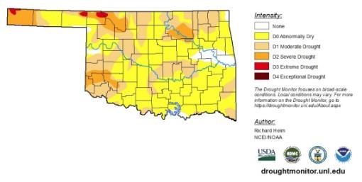
The rest of the country was drier than normal, with little to no precipitation falling across much of the Southwest, central and southern Plains.
According to data as of Oct. 26, 2021, seemingly minor improvements in overall drought conditions for the Contiguous U.S. were recorded. Extreme drought conditions or worse improved, decreasing from 20.7% to 19%. Exceptional drought conditions improved, going from 6.6% to 6%. As areas begin to recover and overall drought intensity improves, expect lower categories of drought or abnormally dry conditions to increase.
To view the Contiguous U.S. Drought Map, click here.
Looking at the next five days, a low-pressure system will move across the U.S. starting in the West. Precipitation is expected in the eastern Plains and much of the South. Little to no precipitation is expected for much of the West and western Great Plains, outside the Pacific Northwest and the Rocky Mountains.
From Nov. 2 to Nov. 10, 2021, above-average precipitation is expected in the Northwest, South and Southern Plains, avoiding the Southwest, most of North Dakota, eastern South Dakota and the northeast corner of Nebraska, compared to seasonal averages. At the same time, lower-than-normal temperatures are expected to radiate out of the Midwest, reaching as far west as western Montana to northeastern Arizona and eastward to western Vermont to the Panhandle of Florida.
To view the 6 - 10 Day Precipitation Outlook, click here. To view the 6 - 10 Day Temperature Outlook, click here.
According to the Monthly Drought Outlook map, drought condition improvement and removal is likely for much of the Pacific Northwest, Southern and Central Plains and upper Midwest. Drought is expected to persist in the remaining parts of the West and will dominate Montana, much of the Dakotas and western Nebraska.
To view the Monthly Drought Outlook map, click here.
Click here to see more...